

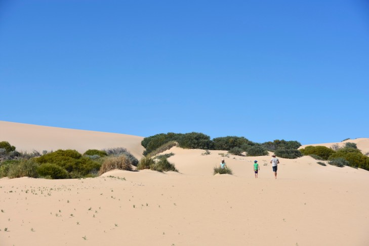
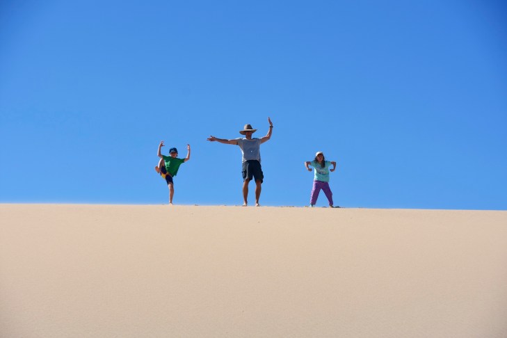
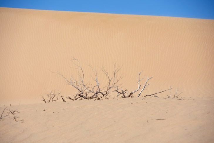
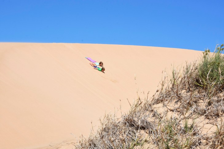
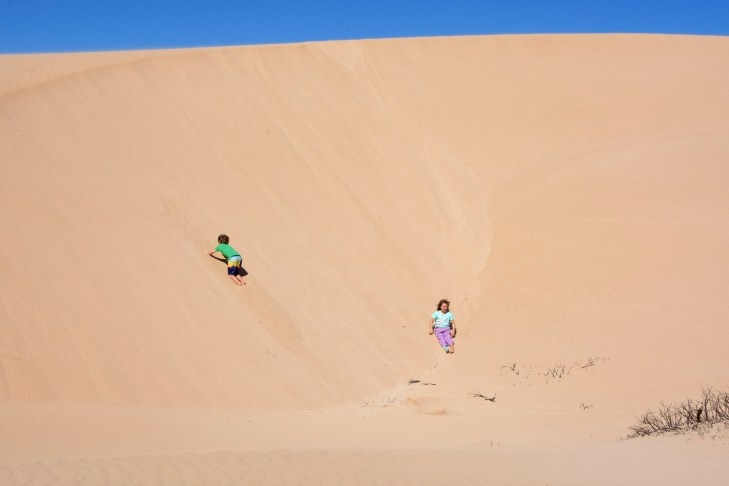
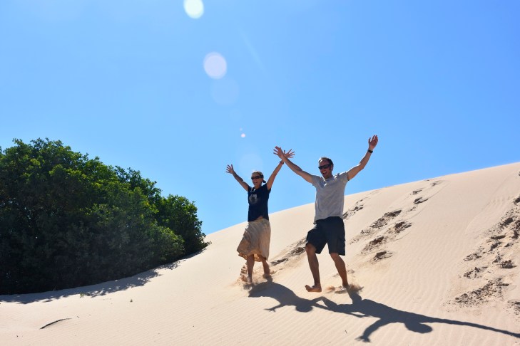
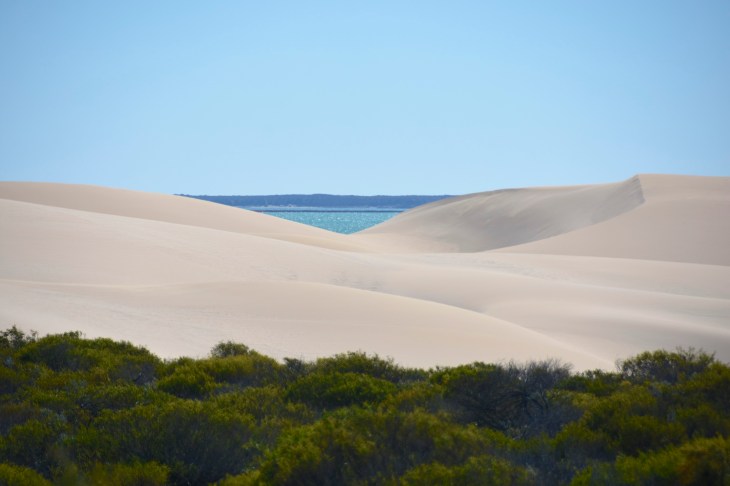
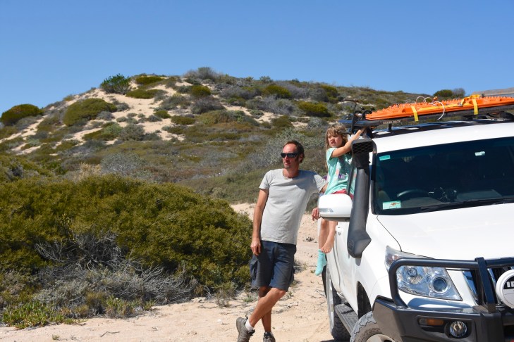
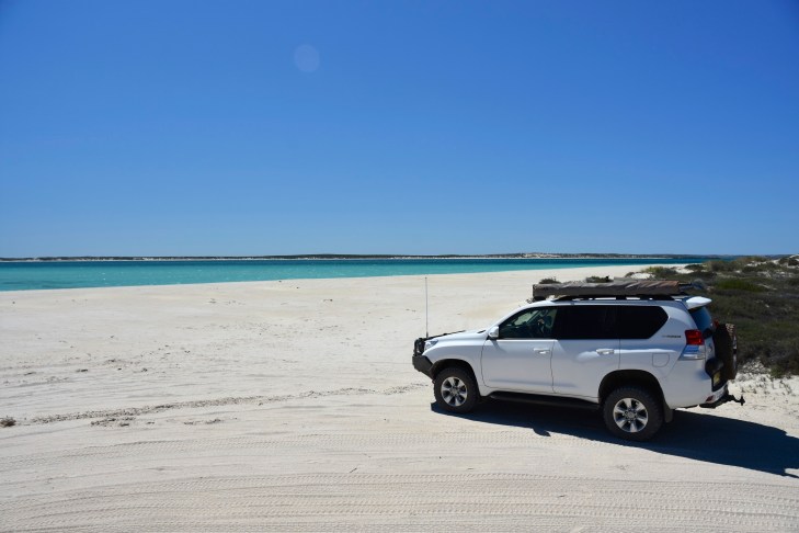
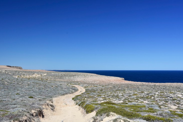
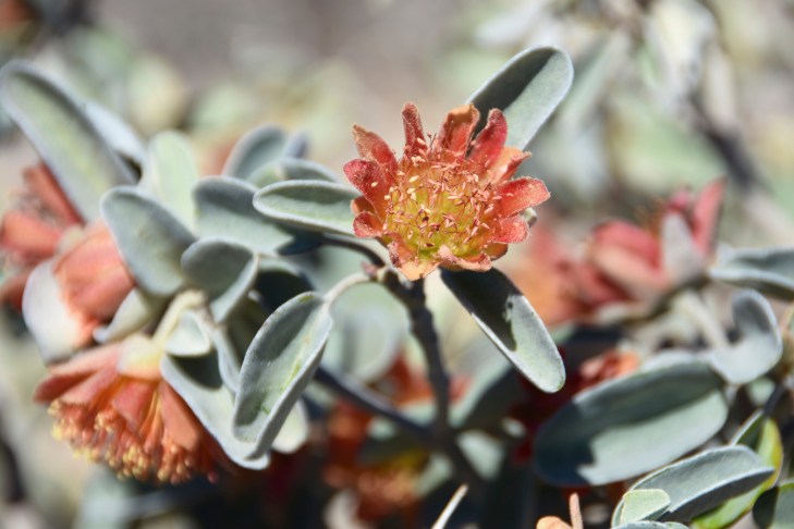
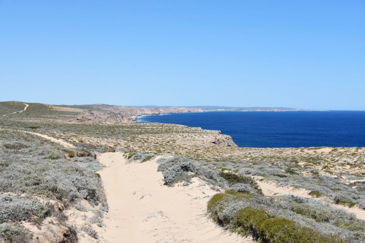
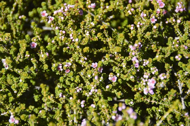
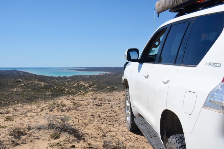
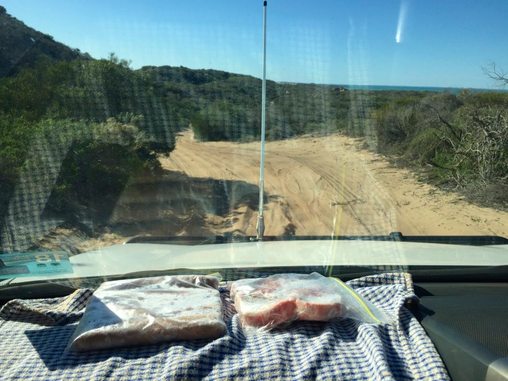
Having spoken to a fellow traveller the night before, we decided to head out to Steep Point the next day. Steep Point is the most westerly point of mainland Australia, and the drive out there was supposed to be spectacular. It takes you past massive white sand dunes and turquoise bays as well as impressive and noisy blow holes. We were told it would be a full day outing so we all got up early and headed off by 7:45am. After a short drive on the blacktop, we turned left along the amusingly named Useless Loop which then stretched dead straight for 50 km of undulating hills of white sandy dirt before winding its way up the peninsula towards Steep Point. We drove a bit further along a pretty rough, corrugated track before finally reaching the entrance to the proposed Edel Land National Park. After lowering our tyre pressure, we headed out towards a massive bank of white sand dunes. As we climbed over the crest of the last hill, it gave us an absolutely spectacular view of the dunes, which stretched about 20km north and south from our point. They reminded us of something out of Africa, as the dunes were almost completely free of vegetation, creating crest after crest of rolling white dunes. We found a place to pull over and cut through a small bank of vegetation to reach the dunes themselves. We spent about 45 minutes playing on them, running up and down and sliding down on our bellies. It was great fun and was a nice break from the couple of hours we had spent so far in the car.
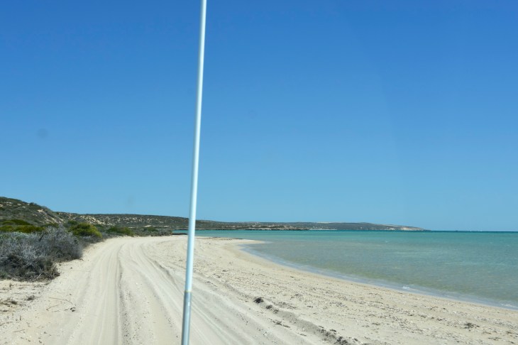
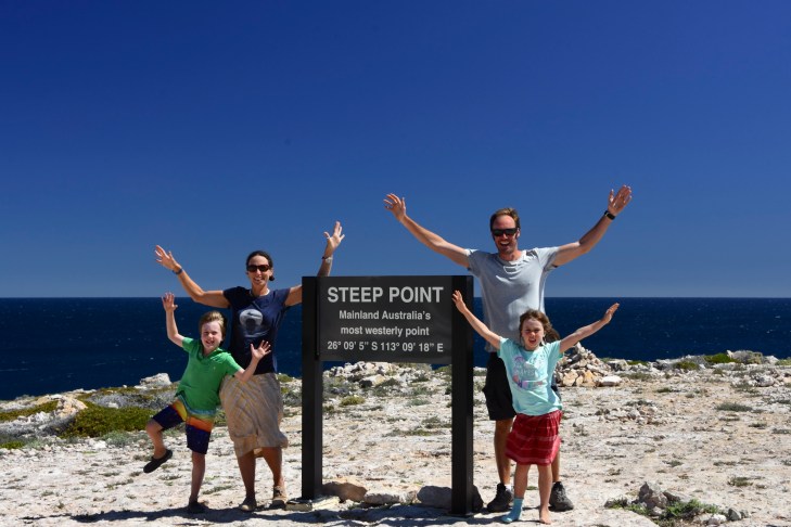
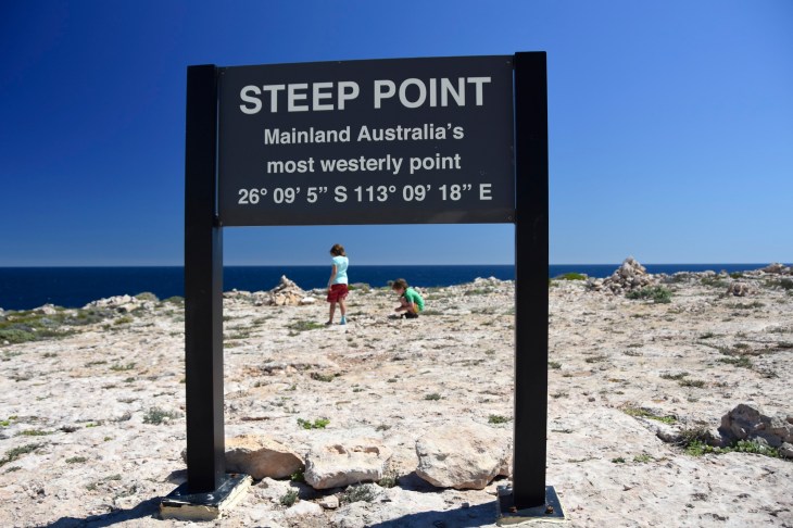
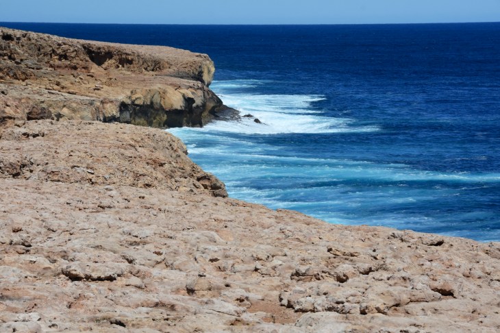
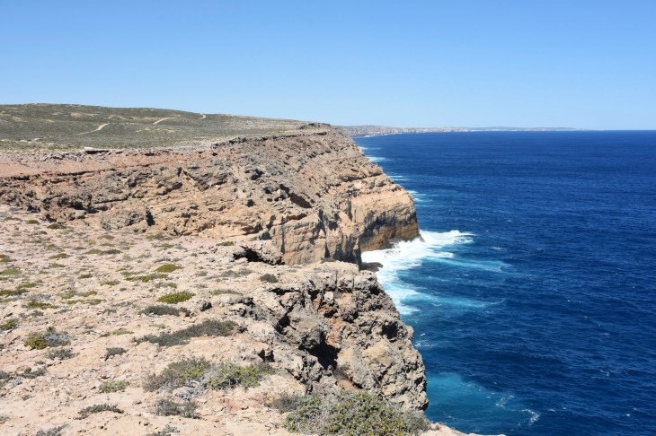
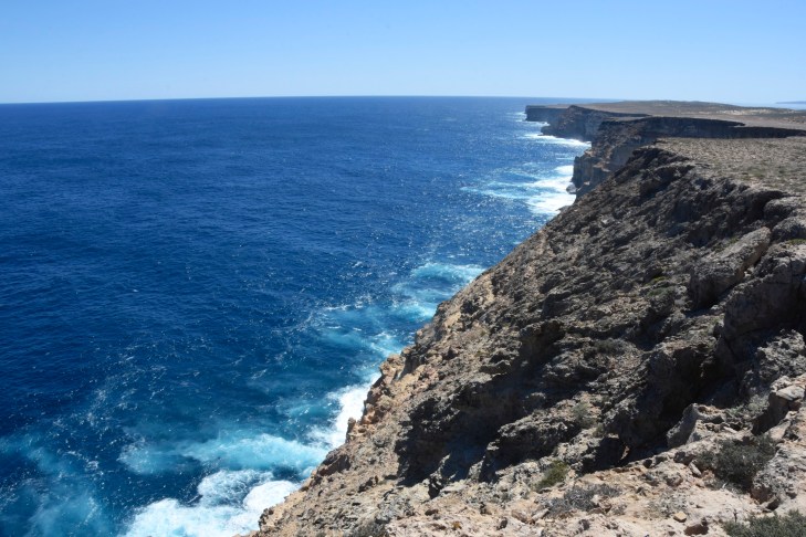
Eventually we dragged the kids away from the dunes and pushed on towards Steep Point, with the next stretch of the road taking us alongside beautiful turquoise bays with the road literally running onto the beach at times, our tyres only metres from the water. We stopped in one place to watch a dolphin racing through the water chasing after fish. At every turn we saw another amazing view, and they just seemed to get better and better. After passing a few campsites situated right on the coastline, generally used by keen fishermen who spent weeks or even months there at a time, we cut inland slightly and drove the last few kilometres to the edge of the mainland. After arriving at Steep Point and getting the obligatory photos using the very convenient permanent tripod they had set up there, we wandered down closer to the edge of the tall cliffs and looked out at the most amazing deep blue ocean. Everywhere we looked at was the same deep blue, a very different colour to what you see when you stand on the edge of the coast at the beach looking out. As if on cue, while we were taking in this breathtaking view a whale slowly swam past us less than 50m from the shore. We stayed in this magical place for a little while while the kids played with rocks, just soaking up the view. Even nicer was the fact that the entire time we were the only ones there, which is quite different from most of the places we have visited.
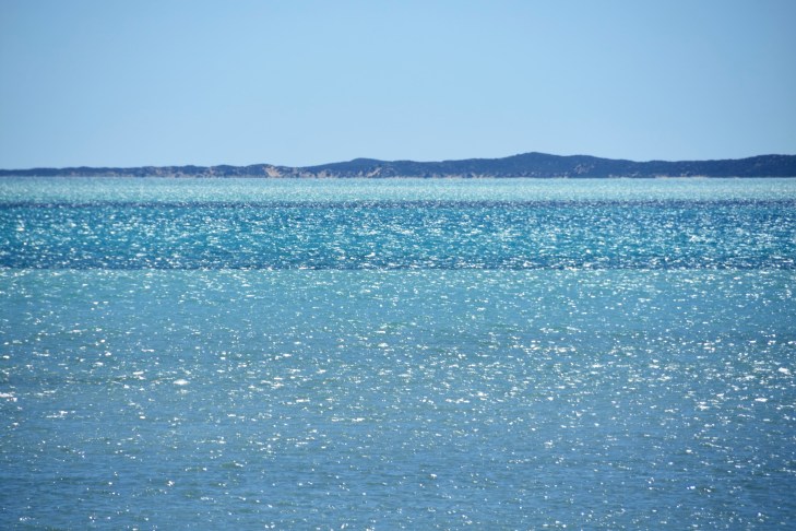
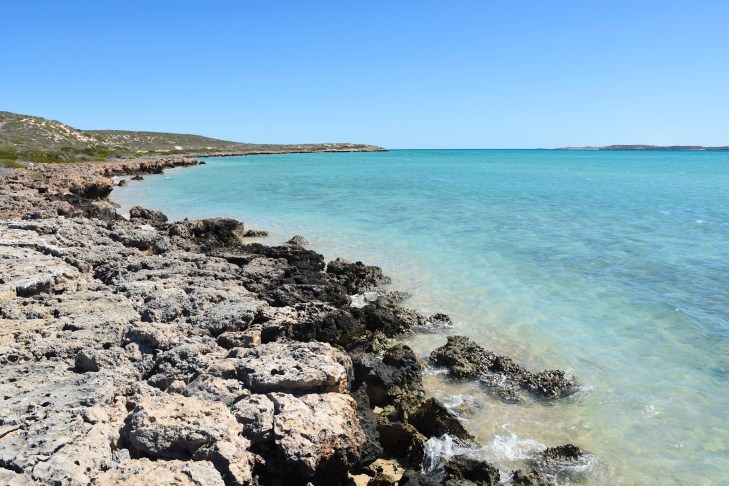
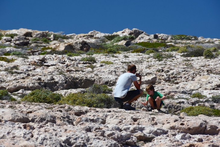
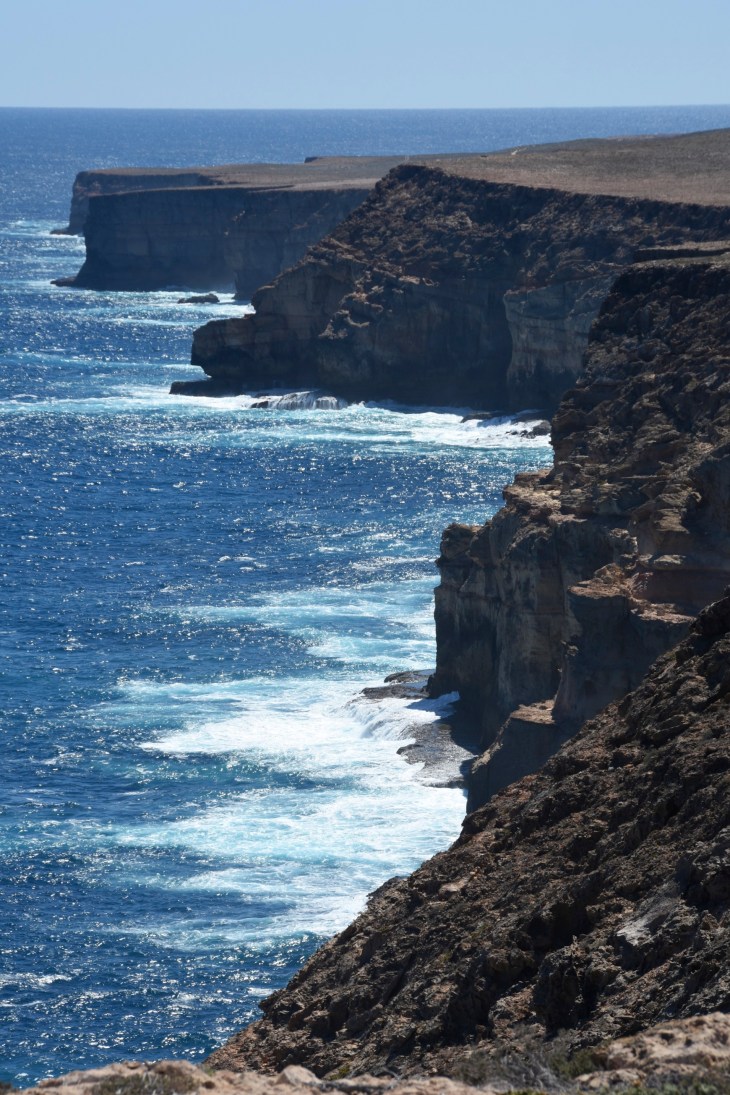
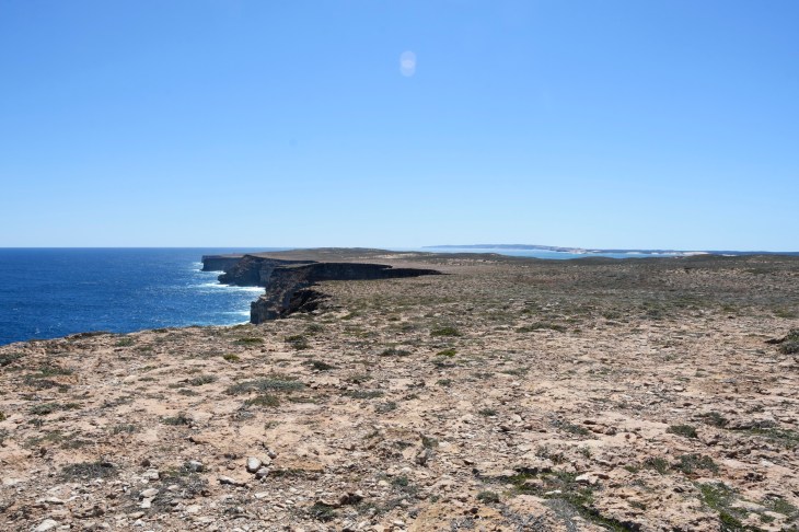
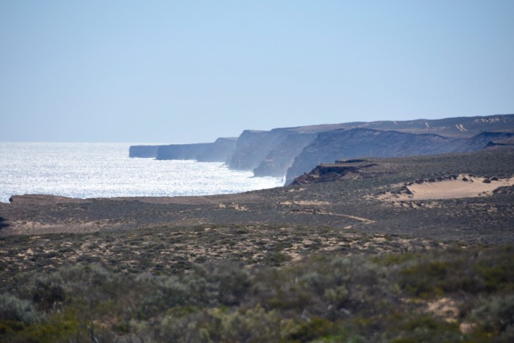
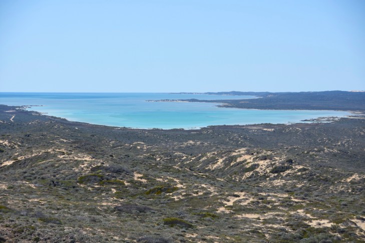
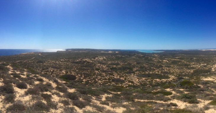
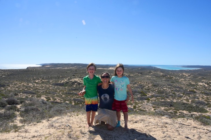
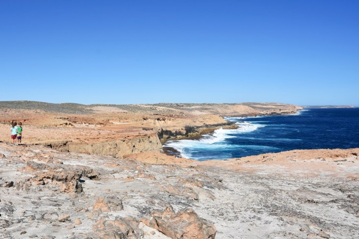
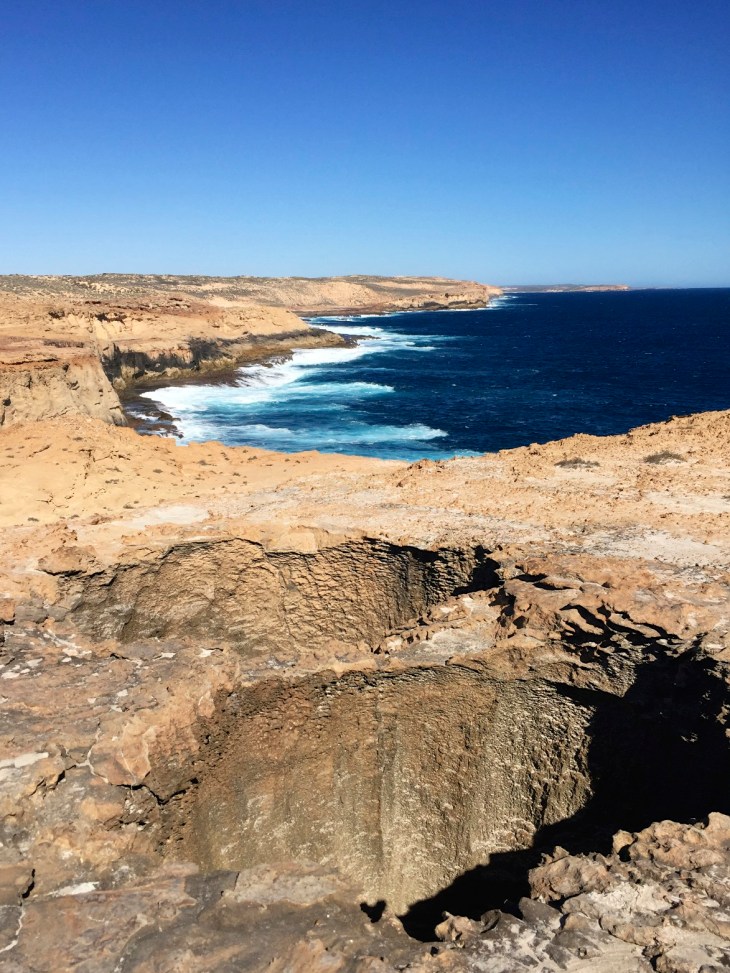
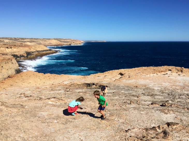
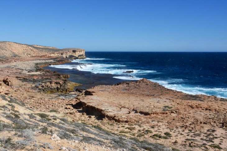
From Steep Point we could either double back the way we came or head back down the other side which was supposed to be a more difficult and rocky track. Never keen to backtrack if we can avoid it, we opted for the rocky track and headed towards the memorial for the Nor 6, a recent shipwreck of a fishing vessel. The memorial gave us stunning views towards the north of the Zuytdorp Cliffs. We continued along the road which offered us spectacular views along this part of the coast. The track was definitely an adventure, with many sandy sections and a few uneven sections where it felt like the car would tip onto its side. The rocky parts sometimes just turned into a mass of rocks with no clear track ahead, and on more than one occasion Em asked “are we even driving on a road anymore?” We managed to follow it slowly down the coast and next we got to Dicko’s Lookout. We had read people’s comments on Wikicamps suggesting this was the best view they had ever seen in Australia, so with hopes built sky high, we were looking forward to this stop. We got out of the car and were blown away by the view. It took a few minutes to take it all in, and even the kids who don’t often get excited by natures wonders were speechless. It truly was a sublime 360 degree view. Looking north back up the peninsula, to the left were the cliffs, in the middle was a massive turquoise bay, and to the right were the sand dunes we had played on a few hours earlier. With the ocean and sky providing various shades of blue as a backdrop, we all agreed this was the best view we had seen on our trip so far. Although we tried to capture it on camera, we knew that no photo could do this place justice so we all tried to etch the scene before us into our memories and just enjoy the moment.
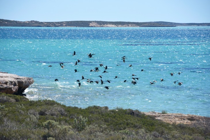
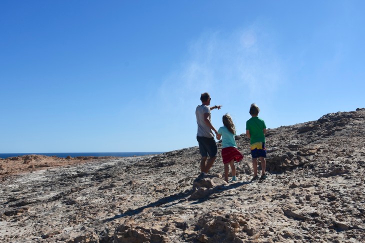
As we left the lookout, we passed the only two cars we saw the whole time from Steep Point back to the blacktop, bringing home to us how liberating being this isolated really felt. We continued along the rough track, which at one point took us to literally within a few metres of the sheer cliffs. For Kat, who doesn’t like heights at the best of times, this was not her favourite part of the drive, and this time is was her that asked if this was really the track! Before long we arrived at the Thunder Bay blowholes, and walked carefully onto the rocks where they were located. We found the blowholes with the bigger ones almost a metre across. Although they were only shooting out sprays of water rather than massive jets, they were still impressive to see. More fun however, were the blowholes that were only about 4cm across. The air would create the most bizarre wheezing sounds as it rushed in and out of these small holes. The kids had heaps of fun putting little pieces of vegetation down these holes and then waiting for them to be shot out then next time the hole blew. Kat lay down next to one and we all watched as her hair was sucked in and then blown out each time the swell came and went.
From there we pushed on to our last stop for the day. Thunder Bay was just along from the blowholes and we sat there for a bit watching the big swells crash into the rocks and up onto a big rock ledge. It was such a wild coast and one that we would never forget. By now it was about 3:15pm and we still had a long drive to get back home so we headed back to the main dirt road and drove the 50km back along its long, straight path before finally getting to the blacktop and enjoying the ease of the last part of the drive back to Hamelin. We were so pleased to have decided to stay an extra day so we could see this amazing place. We got back and had a quick dinner before all collapsing into bed, exhausted from the more than 10 hours on the road that day.
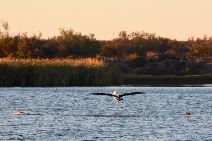
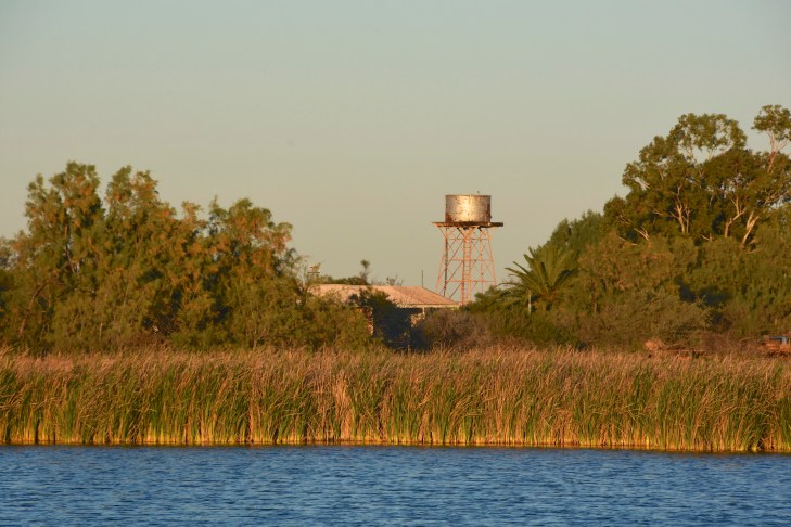
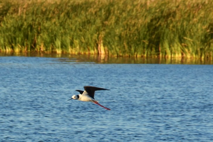
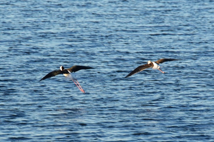
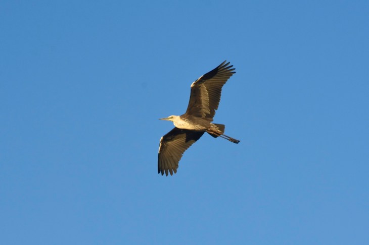
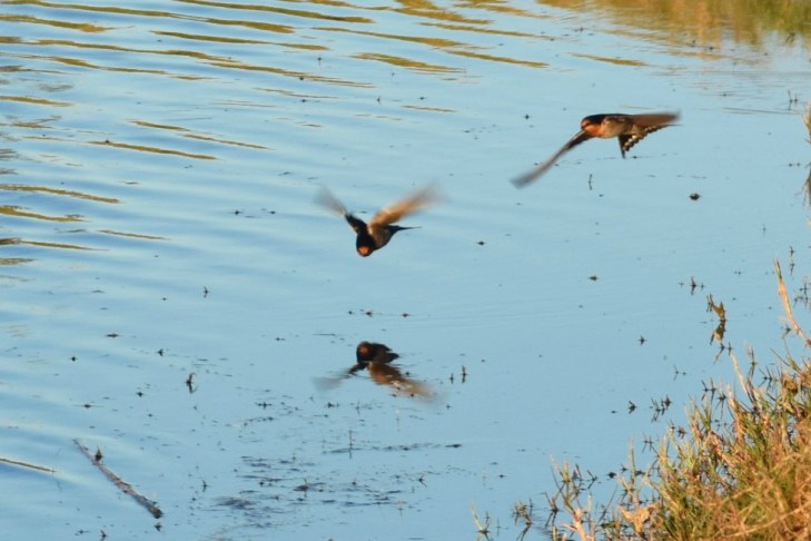
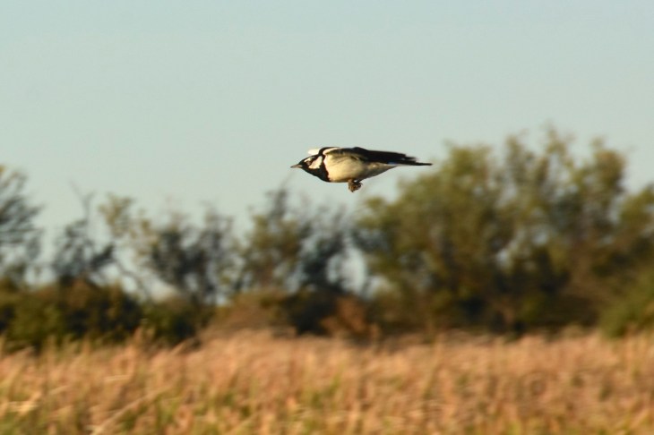
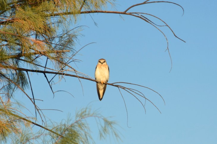
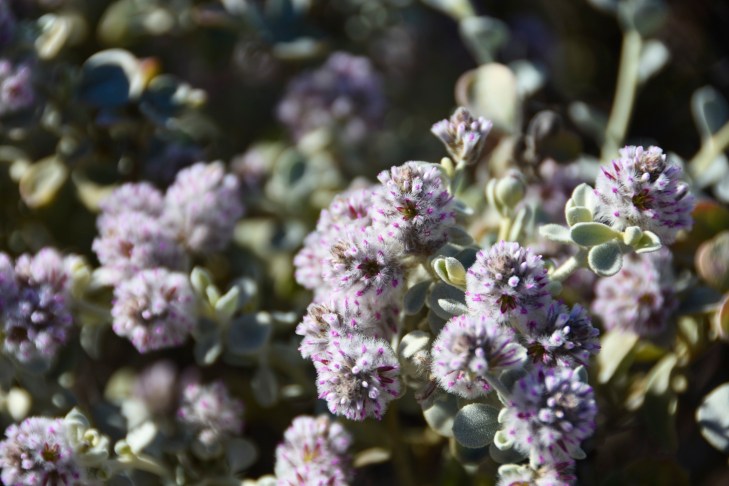
On our final morning I went for an early morning walk around a lake on the property where we were staying, enjoying the many birds that lived on and around it. It was then time to pack up the trailer and have a bit of morning tea before heading off towards Kalbarri.
The sand dunes
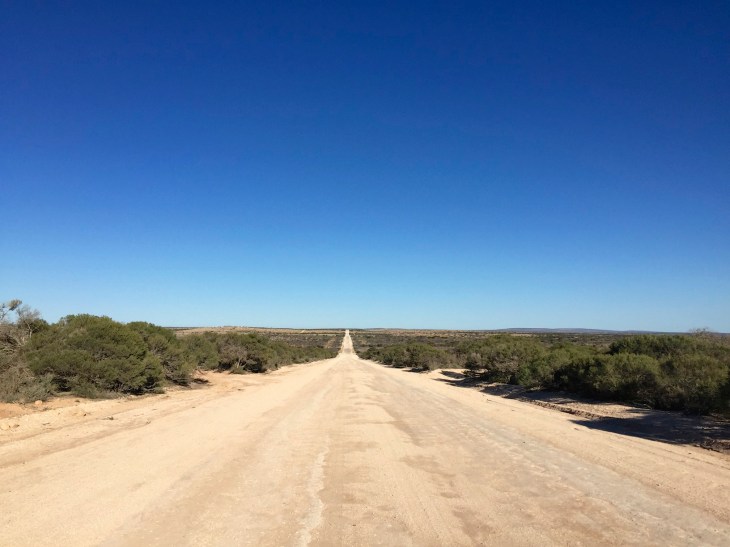
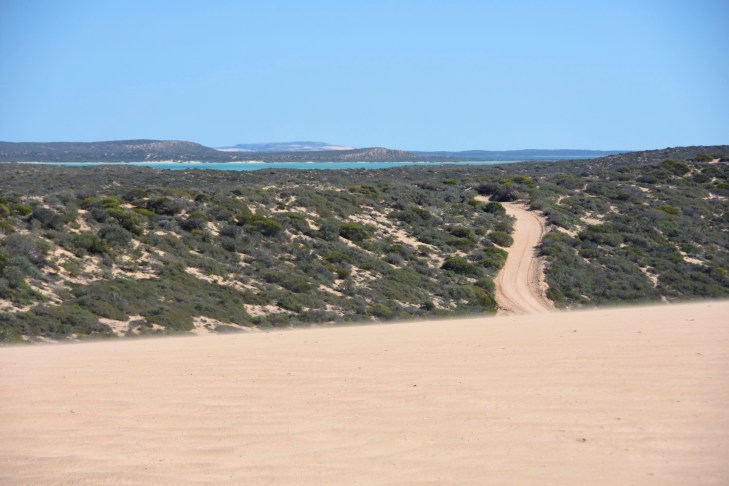
The track to Steep Point
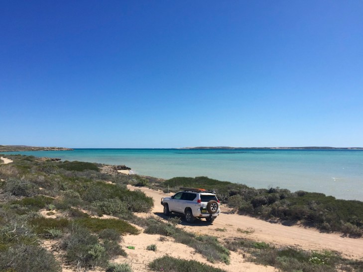
Steep Point


The track to the blowholes via the Zuytdorp Cliffs and Dicko’s Lookout

The blowholes and Thunder Bay
Life by the lake at Hamelin

Wow, what brilliant description and photos of an amazing experience. The landscape where we are in eastern Portugal could well be inland Australia, but we are a long way from the coast now. Love from us both.
LikeLike
Lovely to hear your news from Portugal. Sounds like you have really enjoyed the country and all it has to offer.
LikeLike